2 Days In Death Valley Itinerary
In a lonely spot in the northern Mojave Desert, a visit to Death Valley is an opportunity to dance with nature’s extreme forces that converge in this low, hot, and dry desert valley. Spending more than one day in Death Valley unlocks the possibility of truly getting a sense of its diverse scenery and peculiar sites. In this two days in Death Valley itinerary, we’ll explore the park’s top highlights combined with thrilling road trips to the far reaches of the national park.
Why Visit Death Valley?
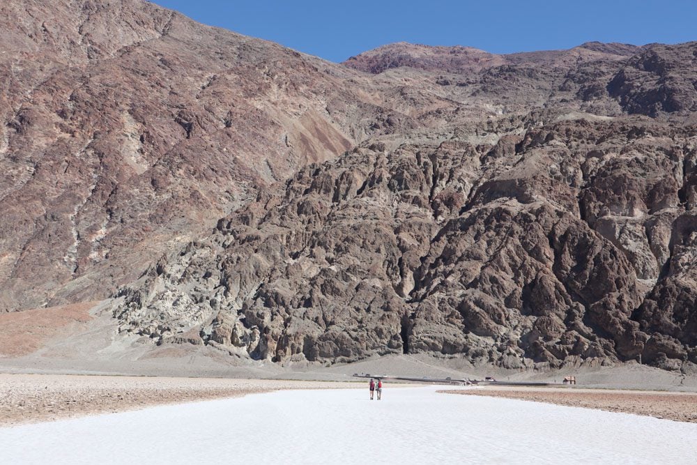
Death Valley is the hottest place on Earth, the driest U.S. national park, and features the lowest elevation in North America. These extremes come together to form one unforgettable adventure.
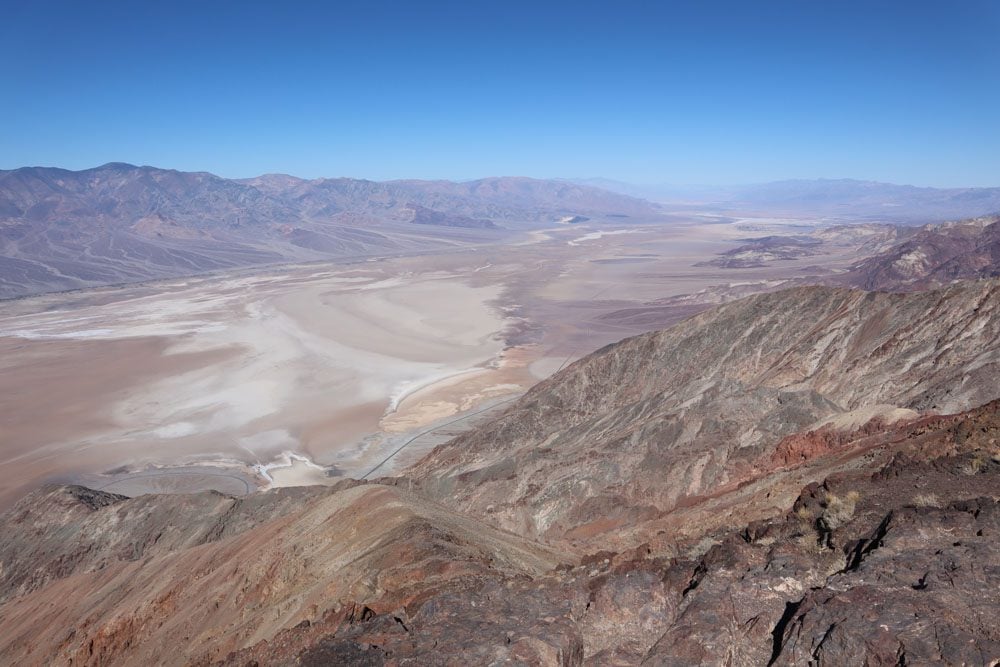
A spectacular desert where nearly all colors of the rainbow can be seen on deeply eroded canyon walls, dry lakes, and sand dunes. Don’t trust the name, Death Valley is alive in so many ways.
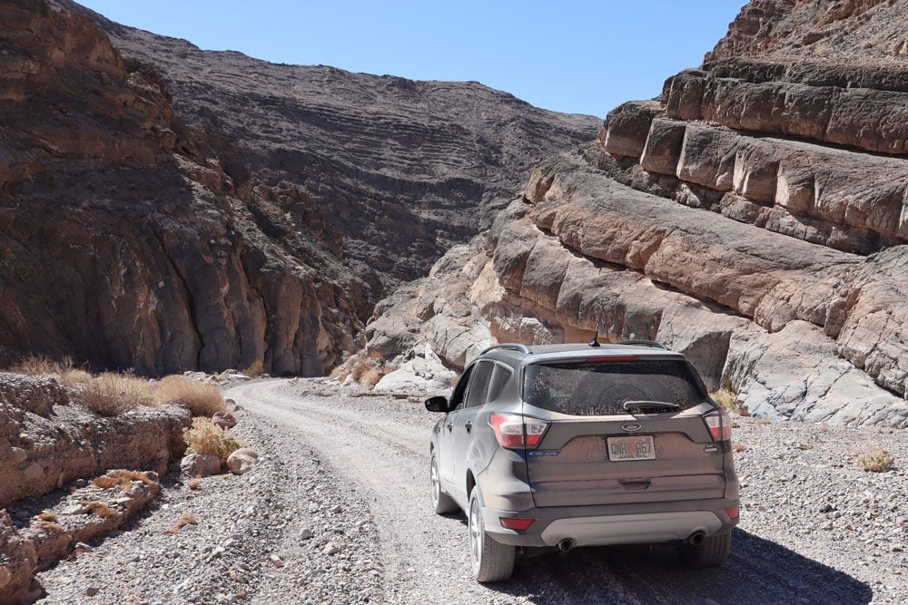
It isn’t rare to see no other human for several hours during the day, and nothing but millions of stars in the night sky. In Death Valley, even the smallest outing requires planning.
The following sections make up this two days in Death Valley itinerary:
- Day 1: Furnace Creek, Badwater Basin, and Around
- Day 2: Racetrack Playa or Titus Canyon Road and Around
Additional Death Valley Resources
Check out the Death Valley travel guide collection for additional information, including essential planning tips, a one-day itinerary, the best hikes, and the top things to do.
Death Valley Travel Guide
Featuring Death Valley’s top sites, get to know the national park with this Death Valley travel guide video.
Where to Stay in Death Valley?
There isn’t a great deal of choice when it comes to accommodation options inside Death Valley National Park so booking in advance during peak season is recommended. As far as camping, there are ten campsites in Death Valley with varying degrees of popularity and services.
Inside the National Park
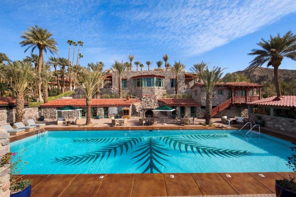
The park’s sole luxury option is the Inn at Death Valley and it is priced accordingly. In furnace Creek, the historic Ranch at Death Valley is a popular option with a prime location in the valley’s “commercial hub”. Another solid option is the motel at Stovepipe Wells. Though it may seem to be stuck in the 90s, its rooms have all the basic modern amenities. The complex also features a reasonably-priced gas station, mini-market, campground, and a restaurant. Slightly out of the way, the Panamint Springs Resort is the third option.
Outside the National Park
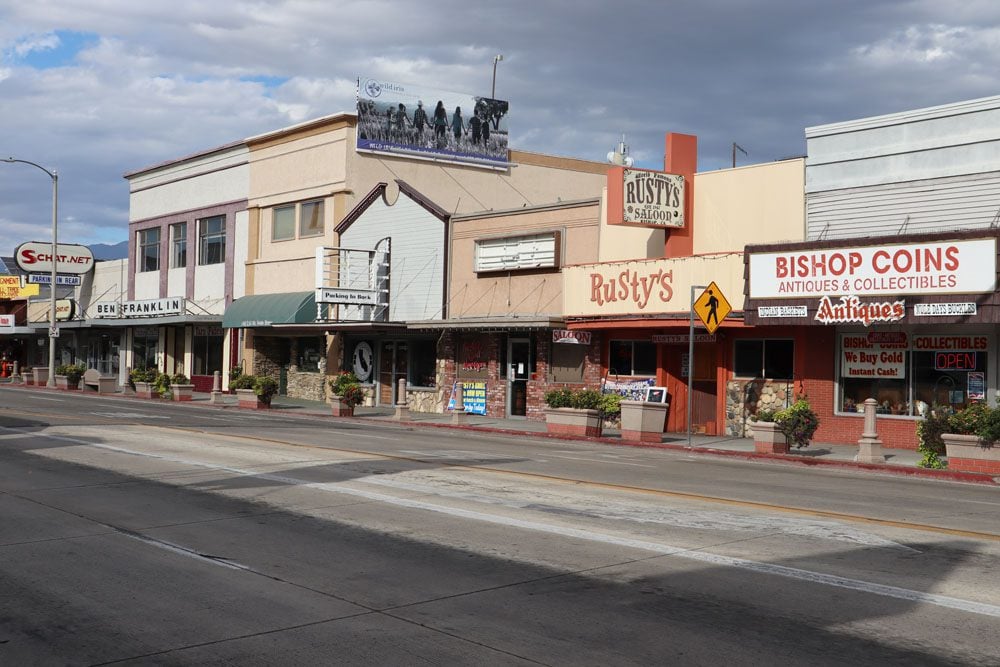
On your in or out of Death Valley, towns on its periphery can serve as a gateway or as a nightly refuge. For those en route to Yosemite or Lake Tahoe, the town of Lone Pine is a good option, Barstow is the first town with proper motels along Interstate 15 south of Death Valley, and Beatty is just beyond the Nevada state line.
Here are all of the accommodations inside but especially around Death Valley that can be booked online via booking.com.
Two Days in Death Valley Map
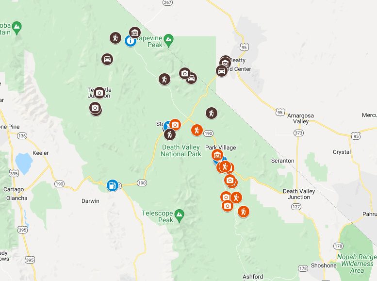
All places mentioned in this two-day Death Valley itinerary can be found on this companion map. Simply click on the image to open it in Google Maps.
Day 1: Furnace Creek, Badwater Basin, and Around
The first of our two days in Death Valley is spent around the park’s center of activity in Furnace Creek area and further south in Badwater. It’s a day that mixes short hikes, scenic drives, and panoramic viewpoints.
Sunrise at Zabriskie Point
This is an optional way to start your day if you’re an early riser and have spent the previous night inside the national park. Together with Dante’s View, Zabriskie Point is one of the best spots in Death Valley for watching the sunrise. We’ll come back to Zabriskie Point a little later but, for now, bring something warm and set an alarm.
Dante’s View
Our first official stop on this two days in Death Valley itinerary is at Dante’s View, arguably the finest scenic viewpoint in the national park. A backcountry road heads to this scenic spot via countless twists and turns but don’t let this deter you as visiting Dante’s View is simply a must. From the viewpoint, Death Valley is beneath your feet and the park’s highest point at Telescope Peak is straight ahead.
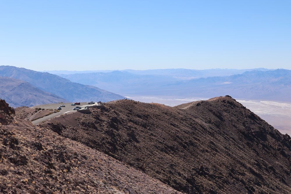

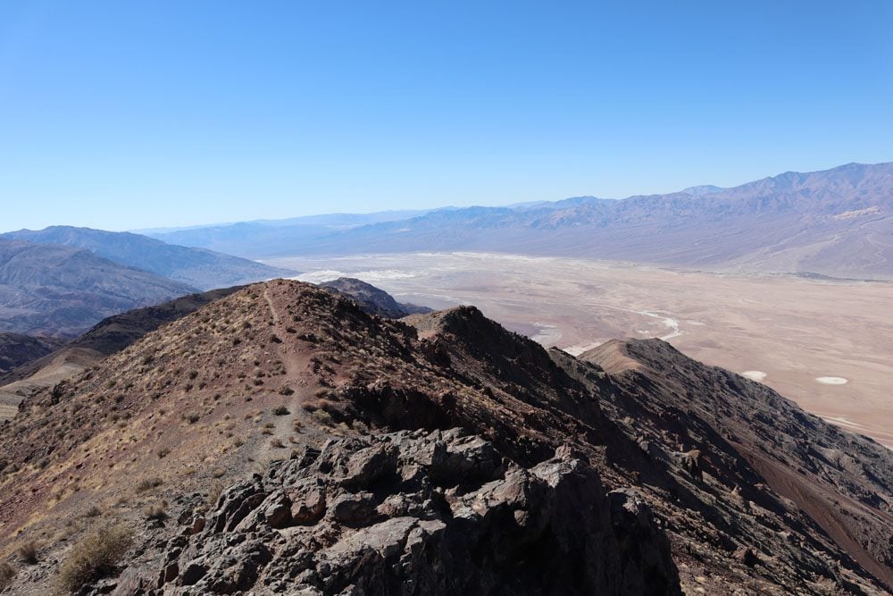
From the official viewpoint, pick up the trail to your left and hike to a secluded spot for additional prime views. You can also pick up the trail to your right and hike along the ridgeline towards Mount Perry until you find your perfect private spot to enjoy this spectacular scenery.
Even in warmer months, it can get very windy and consequently cold at Dante’s View. Be sure to pack something warm in the car.
Zabriskie Point
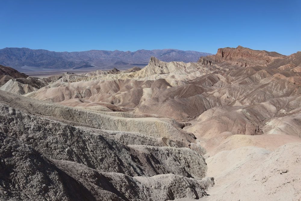
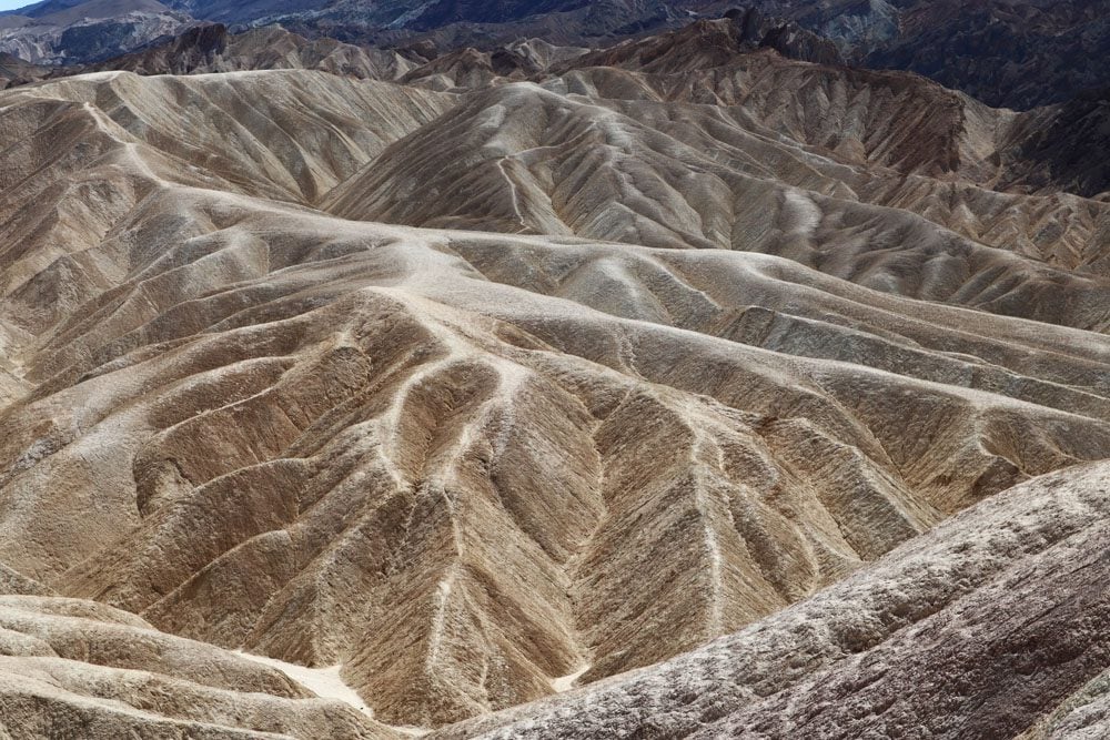
Heading back in the direction of Furnace Creek, stop at Zabriskie Point to see Death Valley’s badland canyons. Over the years, the forces of nature have carved this area into an intricate maze of canyons that appear as a network of veins and arteries. Their intricate shape and various color contrasts, which are especially impressive with the changing light, make Zabriskie Point one of Death Valley’s top highlights and a definite stop. From the parking area, make the short hop to the panoramic viewpoint
Hiking Options
From Zabriskie Point, several trails head down into the network of canyons. The shortest is the Badlands Loop (2.5 miles roundtrip) which can be extended further through Gower Gulch to Golden Canyon (6.4 miles roundtrip) with an option to detour to the Red Cathedral (extra one mile).
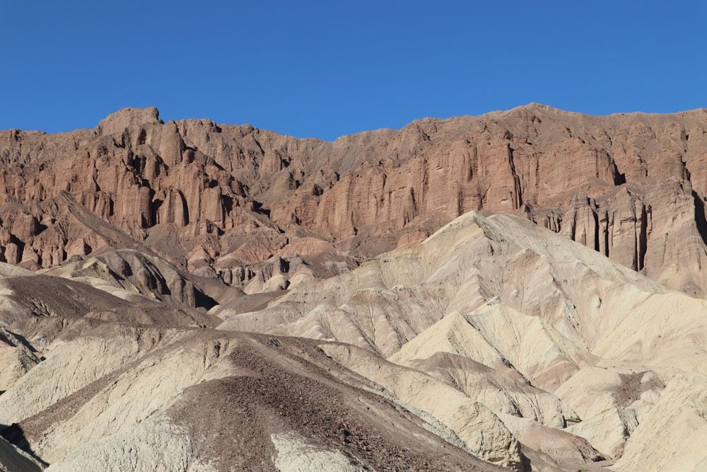
Alternatively, drive from Zabriskie Point to Golden Canyon Trailhead and hike to the Red Cathedral. It’s one of the best hikes in Death Valley, a quick and relatively flat 2.9-mile (4.7 km) walk through one of the most impressive badland canyons. The aim of the hike is to reach the Red Cathedral, a seemingly impenetrable fortress of red rock amidst the golden shades that dominated up to this point.
Devil’s Golf Course
The drive south on Badwater Road is one of the most interesting in Death Valley. The badland canyons followed by the Black Mountains are on your left and the vast salt flats that are the signature feature of Death Valley are on your right. If you’re visiting during the warmer months of the year, there’s a very good chance that your car’s thermometer will top 100 degrees Fahrenheit on this stretch of road (37.8 celsius).
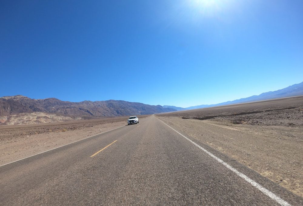
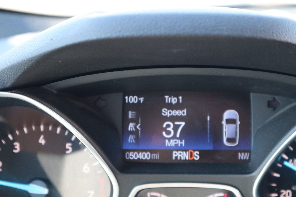
About 20 miles before Badwater, take a right on the dirt road to Devil’s Golf Course. You won’t be able to tee off from here (though you surprisingly can at Furnace Creek), but rather get to see ball-shaped crystallized salt scattered across a seemingly endless field. Deposited by ancient salt lakes and shaped by winds and rain, the crystals are in a constant state of change. If you’re visiting Devil’s Golf Course on a hot day, you might hear a metallic cracking sound as the salt pinnacles expand and contract.
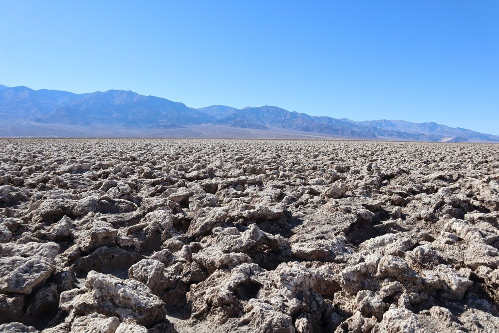
Refrain from venturing into the “golf course” both for the protection of the environment and also for your safety. A small tumble can result in a painful gush from the sharp salt.
Badwater Basin
If you aren’t feeling the heat yet, you will feel it at Badwater Basin, the lowest point in North America in terms of elevation at 282 feet (86 m) below sea level. Badwater Basin is Death Valley’s top attraction, thanks to its prized title and vast salt flats.
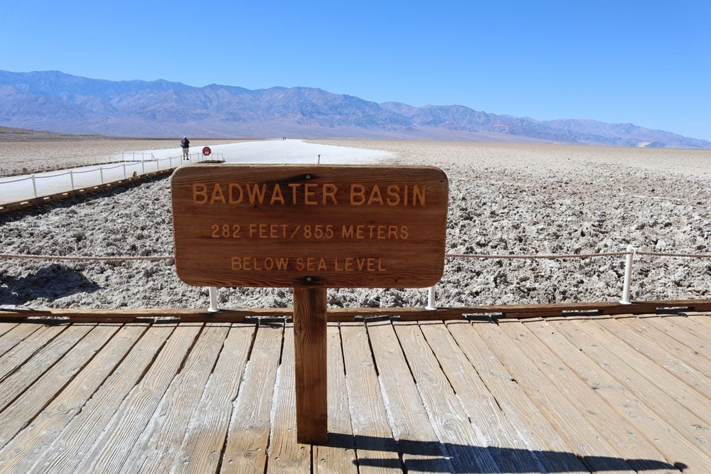
From the parking area, head to the boardwalk and explore Badwater Pool. The water might be extremely salty, but life still exists even in this hostile environment. The water reaches this pool from distant rainfall that drained through an underground system to the lowest possible point.
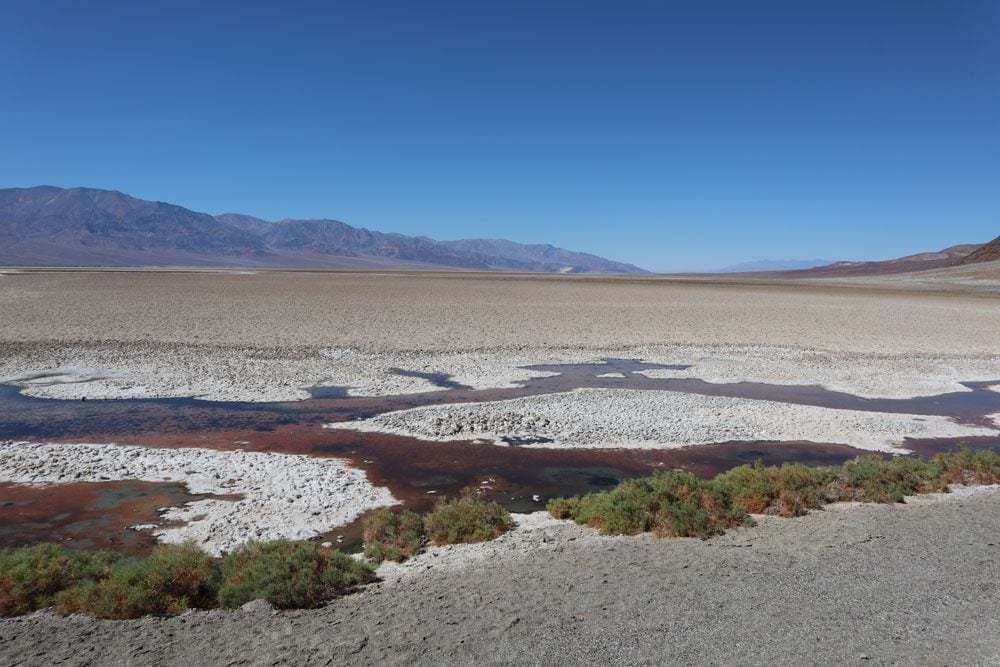
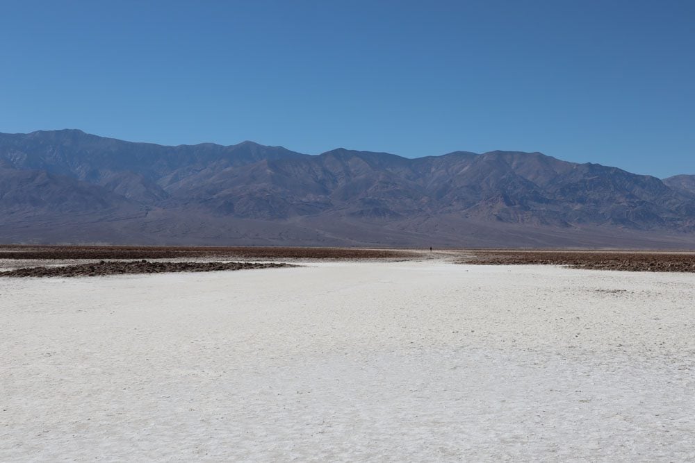
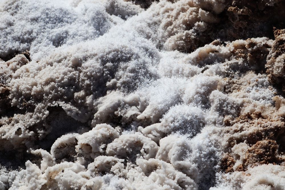
From Badwater Pool, continue straight into the heart of Death Valley along the salt flats. Get a closer look at the incredible crystal-like shapes of the dry salt, constantly altered by wind and rain. Follow the salty snow until you’ve had enough or try to make it to a second marker celebrating Badwater’s record-low elevation.

Optional Hike to the Natural Bridge
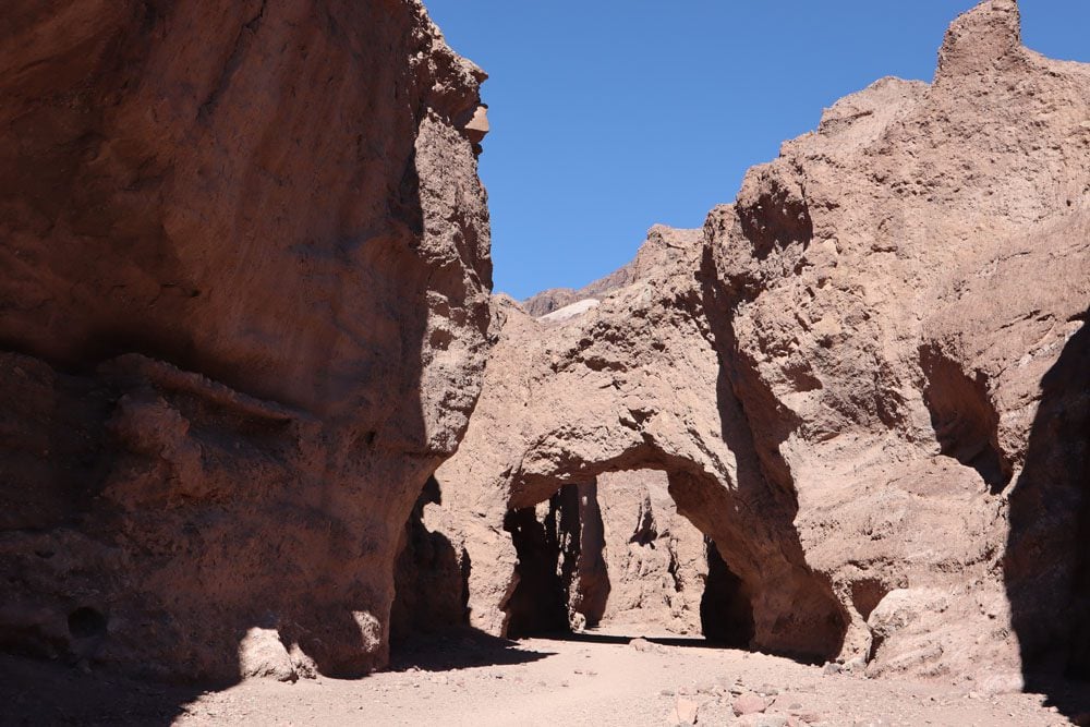
If it isn’t too hot and you’re doing well on time, consider this quick and easy hike. After just 0.3 miles from the small parking area (500m), you’ll walk under the impressive natural bridge that connects the walls of this canyon. The natural bridge is about 35 feet high (10.5 m) and has the same thickness. To further extend the hike, follow the trail to a dry waterfall and even deeper until an impassable cliff is reached.
Artists Drive
It should be late afternoon by now which is the perfect time for Death Valley’s most famous scenic drive. This beautiful one-way, nine-mile (14.5 km) scenic drive is paved throughout and perfectly blends with the surrounding topography.
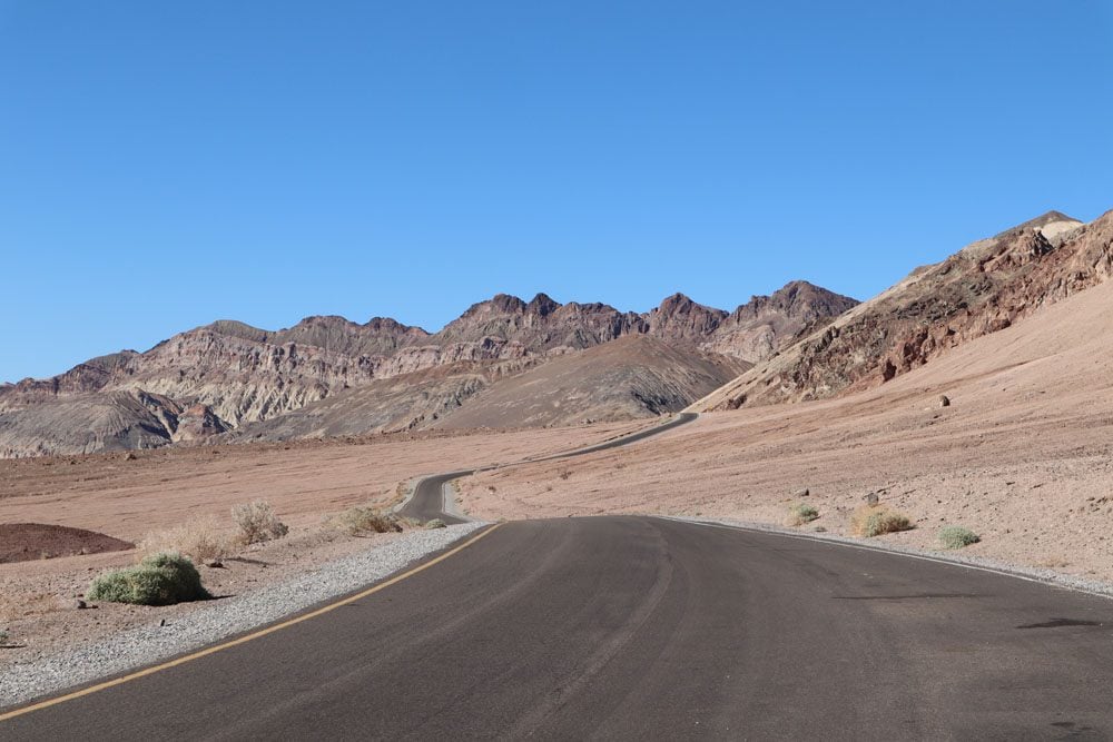
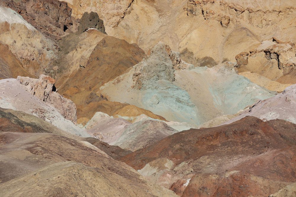
Of all the beautiful scenery along Artists Drive, it’s the one at Artists Palette that warrants a stop. Artists Palette is an exposed hillside, named for the multitude of colorful minerals visible on its slopes. Every color of the rainbow can be seen, even blue. You can ditch your car at Artists Palette and explore the colorful area from up close.
If you’ve skipped some of the hikes mentioned above or are doing well on time, consider stopping on the way to our next official stop at Harmony Borax Works. This open-air museum features a short interpretive trail about Death Valley’s borax mining. You can also stop at Salt Creek and walk the length of its interpretive trail to see with your own eyes that there is plenty of life in Death Valley.
Sunset at Mesquite Flat Sand Dunes
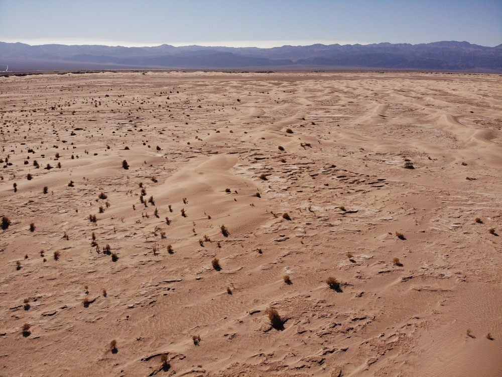
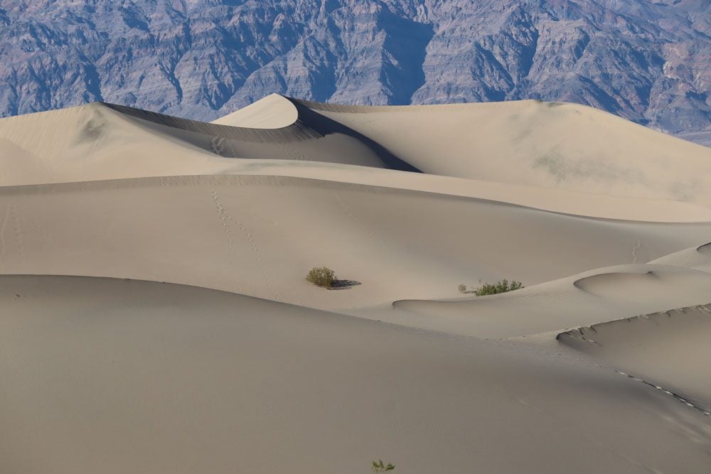
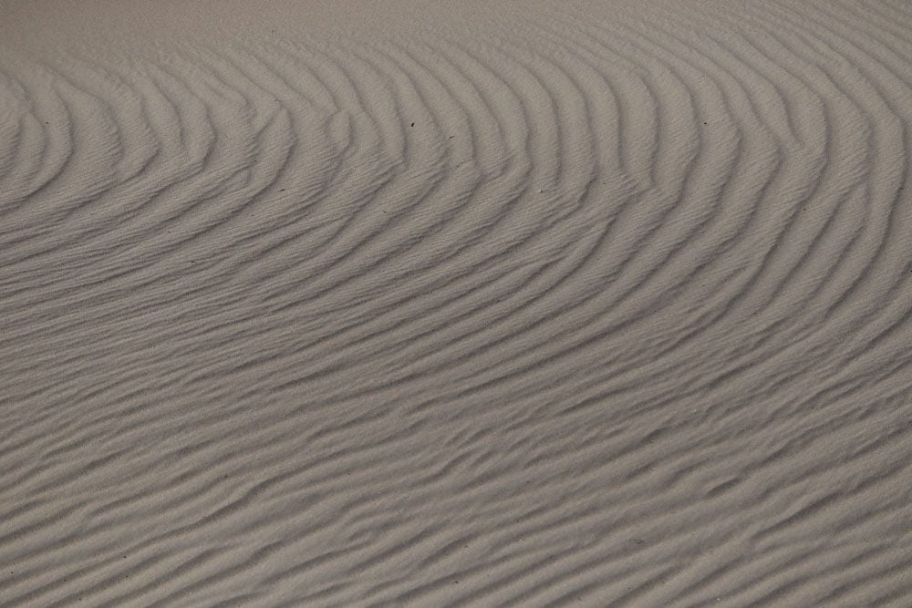
With sand dunes towering over 100 feet high and constantly shaped by the passing winds, Mesquite Flat Sand Dunes is the perfect spot to enjoy the sunset in Death Valley. There’s no official trail slicing through this maze of dunes, so just let your feet do the walking and find a lonely spot atop one of the dunes to enjoy the changing colors.
Stargazing
The best evening activity in Death Valley is without a doubt watching the night sky. The skies here are virtually free of light pollution, so stars can be seen by the thousands. You can join a guided night sky ranger program or pretty much use any spot to explore the night sky. There are several popular locations, including the Mesquite Flat Sand Dunes (but not from its parking area), Harmony Borax Works, Dante’s View, Badwater Basin, and the information area at the junction of Daylight Pass Road and Beatty Road.
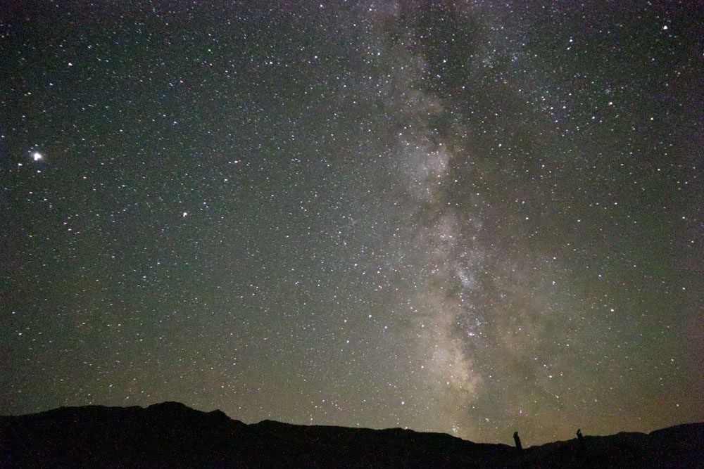
Be sure to download a night sky app to your mobile phone so you can see which stars and planets you’re seeing, and cover up even if it’s not cold to fight pesky flies.


