Mojave National Preserve: Travel Guide & Itinerary
Mojave National Preserve Itinerary
This section highlights a day trip itinerary for Mojave National Preserve and covers its major highlights.
This Mojave National Preserve itinerary begins at its entrance just outside Baker, California. It’s based on my experience exploring the park, having spent the previous night in Barstow (63 miles to the west). If visiting from the east, simply reverse the order.
Baker
There is absolutely nothing to do in Baker, the southern gateway to Death Valley, apart from filling up your gas tank and grabbing some fast food. This tiny town’s main source of income is catering to truckers and interstate drivers in need of a break. Baker’s claim to fame is the world’s tallest thermometer, a steel electric sign that commemorates the weather record of 134 degrees Farenheight recorded in Death Valley in 1913.
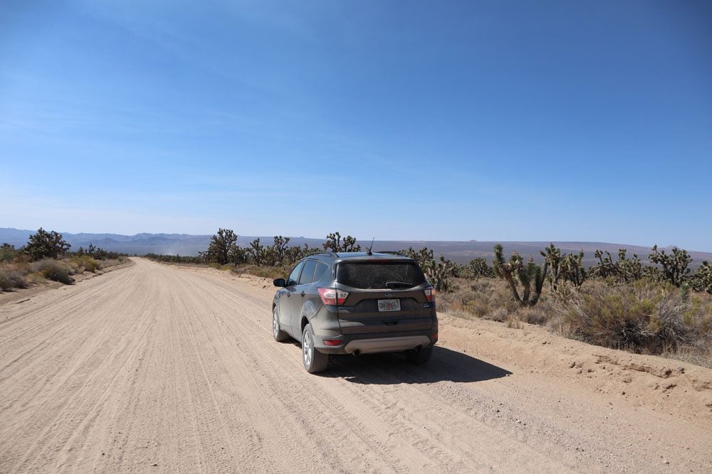
Baker to Kelso Depot
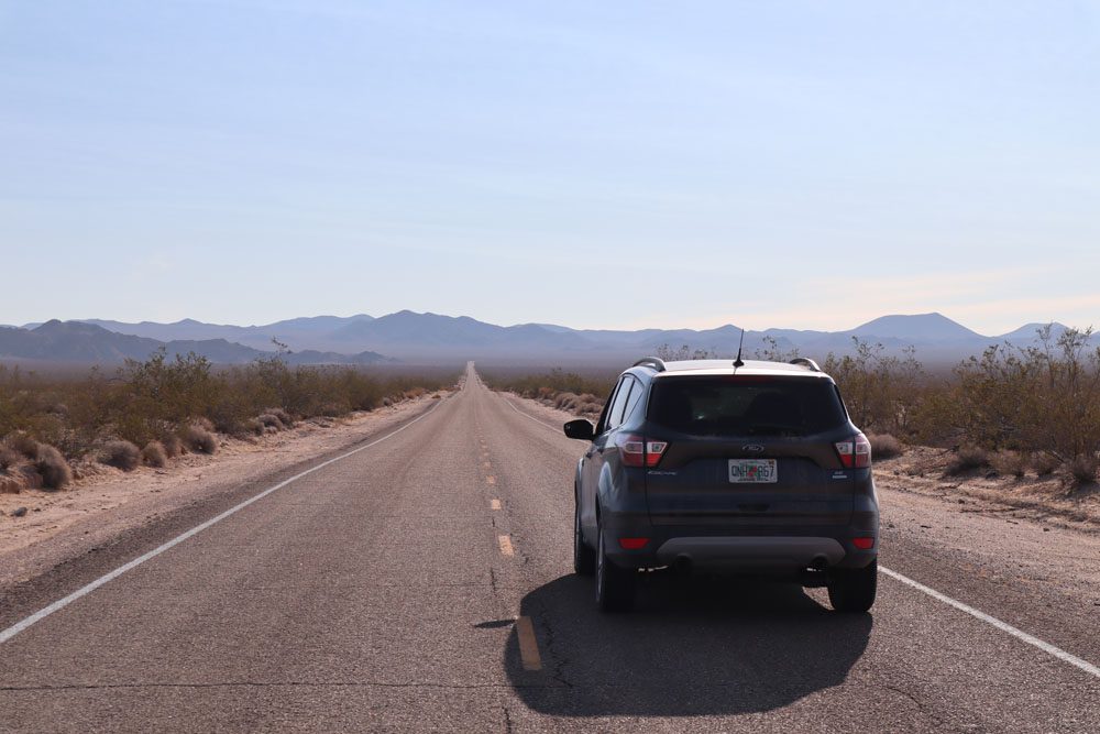
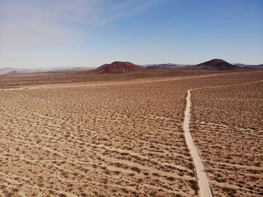
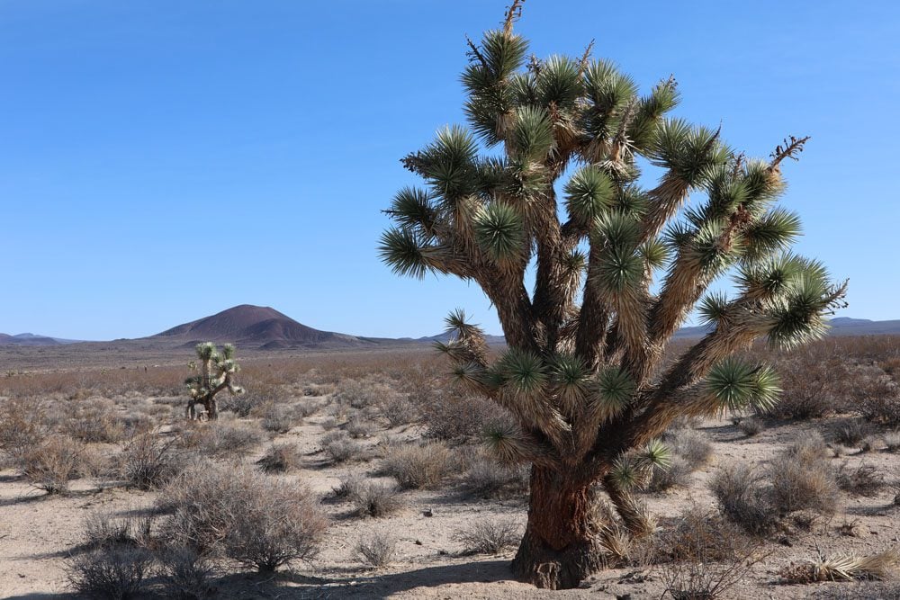
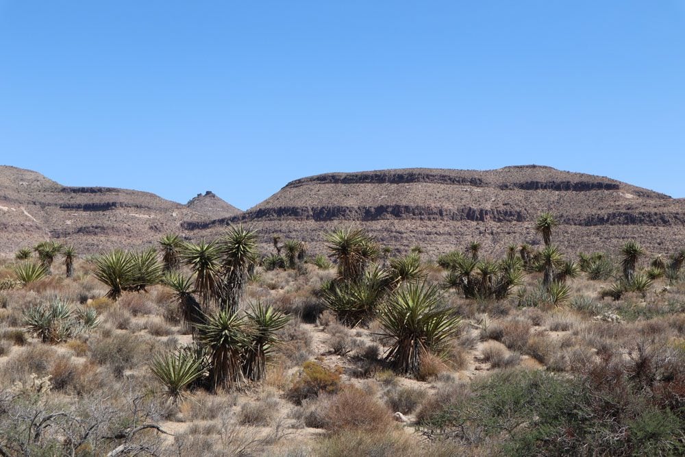
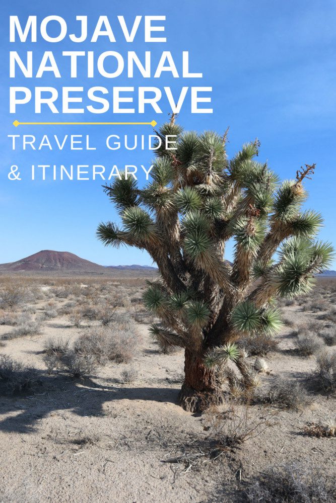
The 34-mile leg on Kelbaker Road is a beautiful stretch of lonely desert road. Stop to check out the seemingly out-of-place volcanic cinder cones and the Joshua trees. A few backcountry dirt roads cross the paved Kelbaker Road. If you have a four-wheel-drive vehicle, you can drive up to the cinder cone area by turning left on a dirt road about 15 miles north of Kelso. A high-clearance vehicle should be enough to get you to the lava tube. If you time your visit correctly, you might see a bright sunbeam streaming through the multiple ceiling holes. Slightly further is the Aiken Mine.
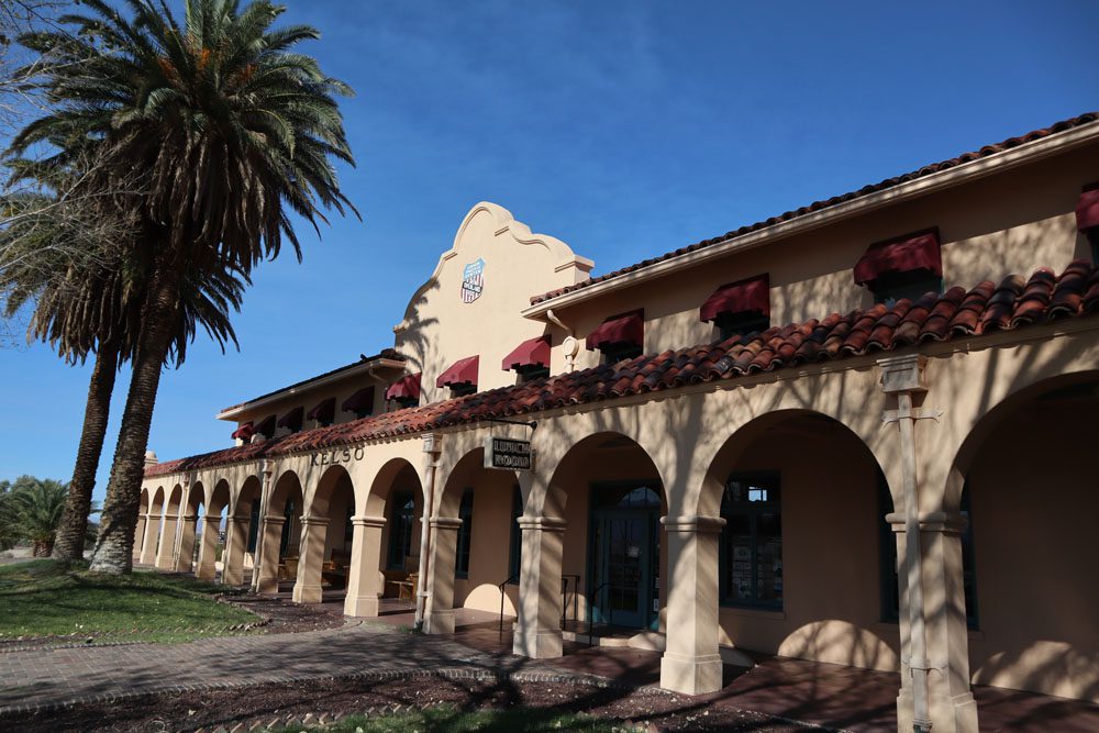
Kelso Depot
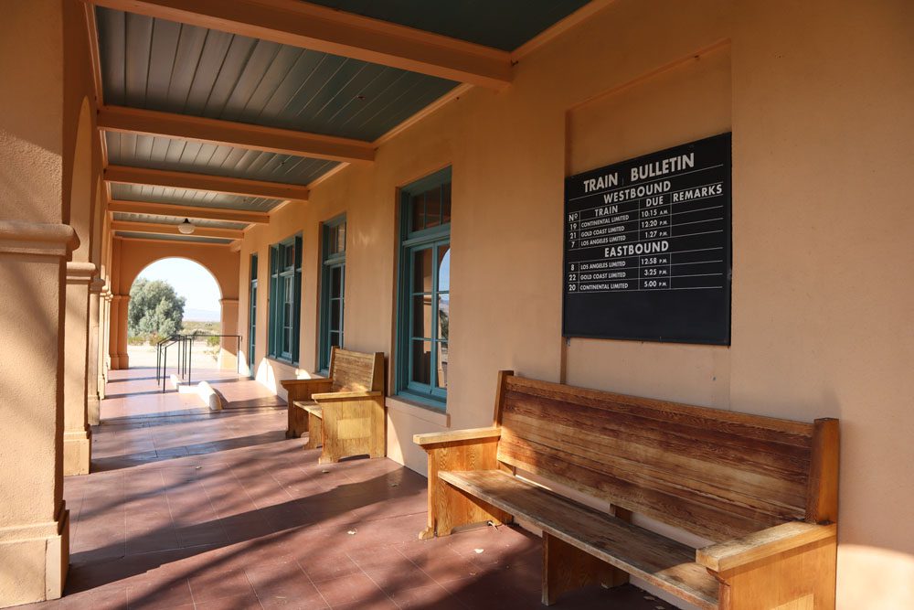
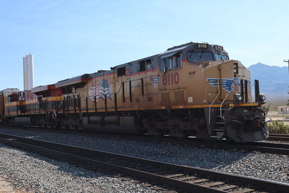
In the middle of the Mojave Desert, this impressive historical building seems completely out of place. Built in 1924, the Kelso Depot was part of Union Pacific’s California network and it needed to be erected here to house small locomotives that would assist the train to overcome the steep grade further up the track. It not only served as a train station but also contained a restaurant and even dorm rooms for railroad employees. During WWII, Kelso was quite a busy place as part of the military’s logistical effort in moving troops and machines across the nation.
These days, Kelso Depot serves as a visitor’s center and museum. There used to be a small cafe in operation but it is most likely still not in operation after shutting down in recent years. If you’re lucky, you’ll see colossal freight trains stopping for a break in the middle of nowhere.
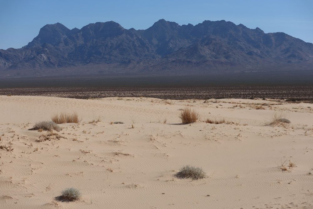
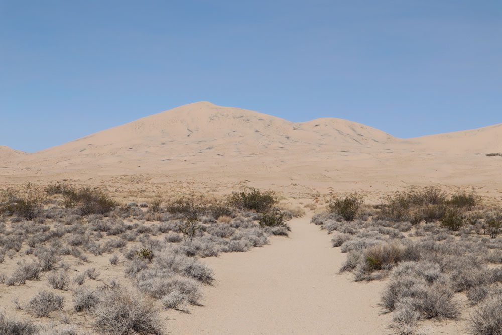
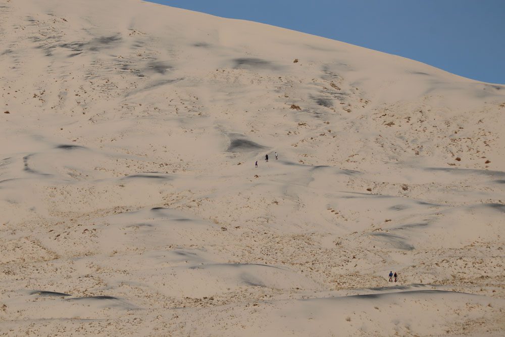
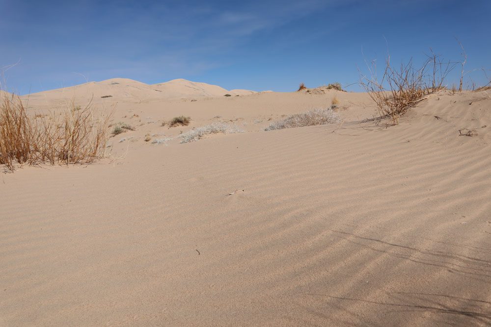
Kelso Dunes
One of the park’s prime attractions, Kelso Dunes continues the out-of-place theme of the rail depot that carries the same name. This massive pile of cream-colored sand is as soft as they come, peaking at an impressive 700 feet (213 m). From the parking area, a hiking trail leads to the summit of the dunes from where spectacular vistas of the area are the reward. Carry plenty of water and protect yourself from the sun. Note that walking in the soft sand is slow going.
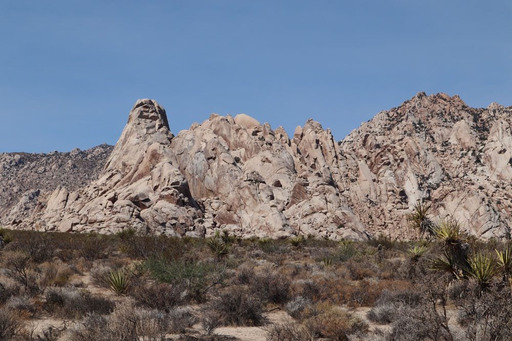
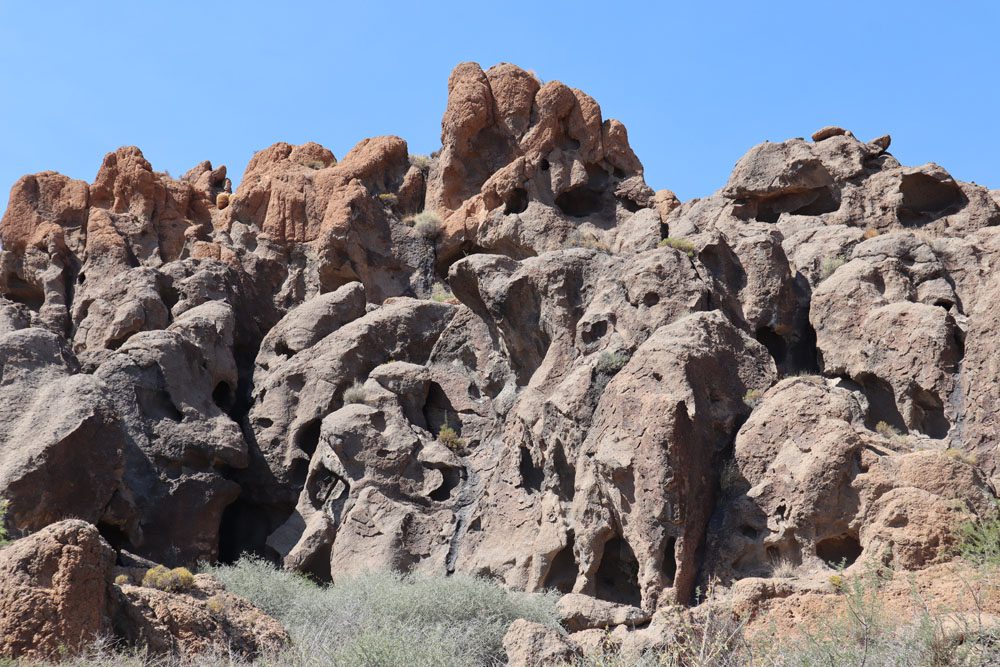
Boulders Viewpoint Area
Shortly after Kelso Dunes in the direction of Interstate 40, stop at this viewpoint and admire the strange rock formations that make up this granite mountain. If you have the time and the will, a trail from the viewpoint leads to close-up views.
Drive to Interstate 40
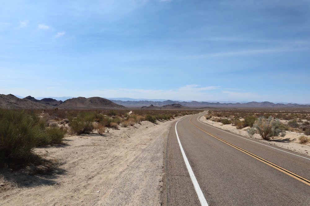
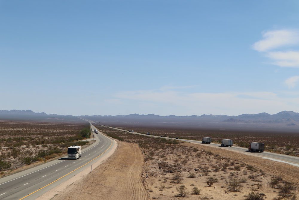
The next stretch of Kelbaker Road heading south is simply stunning. The road meets I-40, where four lanes slice through the middle of nowhere. This has to be one of the most scenic stretches of the interstate network. Get on the interstate heading east, turn on the cruise control, and enjoy the short 22-mile (35 km) drive to Essex Road where we’ll re-enter the preserve after bypassing the Providence Mountains.
If you’re doing well on time or spending the night inside Mojave National Preserve or nearby, you can continue further on Kelbaker Road to a short section of historic Route 66. At the intersection with Route 66, turning left or right will take you back to I-40. Highlights include Bagdad, California (a ghost town with very little left to see), Amboy Crater, the Lion Of Amboy (a statue), and Chambless (a ghost town). If you’re heading to Joshua Tree National Park and want to avoid the interstate, the backcountry Amboy Road will get you to Twentynine Palms.i
Essex Road
Re-enter the park on Essex Road. The Providence Mountains are now to your left. We’ll use this road to visit Hole-in-the-Wall. The scenery here is much different than on the other side of the mountain range. There’s much less sand and way more rock (with a dash of red color), and it’s relatively much greener on this side. What a difference a few miles make.
Mitchell Caverns
This trio of limestone caves sit at an elevation of 4,300 feet (1,311 m) and are part of the Providence Mountains State Recreation Area. The caves are connected via a man-made tunnel and can only be visited on guided tours led by park rangers. It might be tricky to time a guided visit in your itinerary but if you’re spending the night inside Mojave National Preserve, your chances might be better.
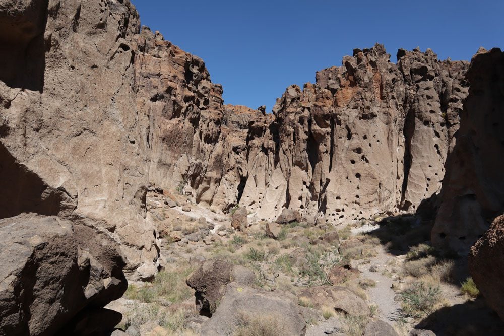
Hole-in-the-Wall
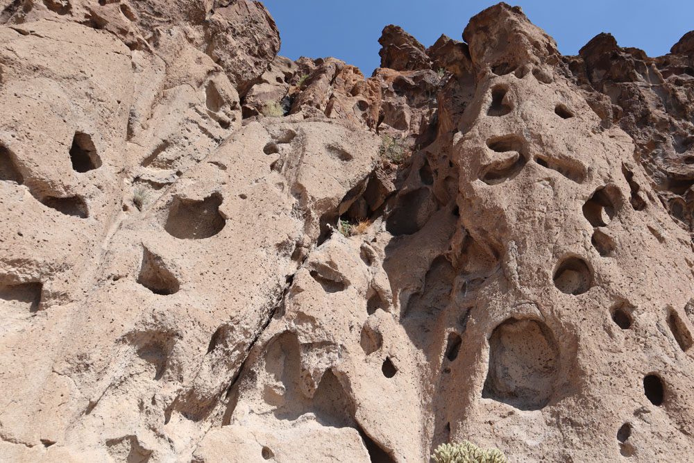
Together with Kelso Dunes, Hole-in-the-Wall is Mojave National Preserve’s top highlight and a must-visit spot. One of the park’s main campsites is located right next to Hole-in-the-Wall and during various months of the year, a ranger information station is open. You can also fill your water bottles with fresh water from the station. This area of the park is also abundant with cattle ranches. You’ll see (or smell) evidence of this as you explore the area (if you know what I mean). During the visit to Hole-in-the-Wall, scenes from the great film City Slickers became quite vivid in my memory.
There are a few ways to explore Hole-in-the-Wall, the easiest of which is to simply walk to the start of the hiking trail and peak down towards Banshee Canyon from the overlook (slight climbing required). From up here, you can easily understand how this place got its name.
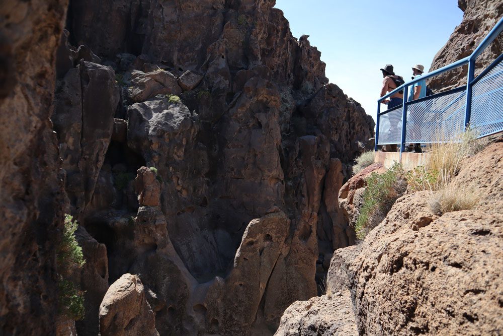
The best way to explore Hole-in-the-Wall is by hiking the Rings Trail. You’ll need to be free of mobility challenges to complete this short trail as it ascends or descends Banshee Canyon using metal rings (depending on if hiking in a clockwise or counter-clockwise direction). The experience is memorable, not only because of the challenge but also for the close-up views of the holes in the rock.
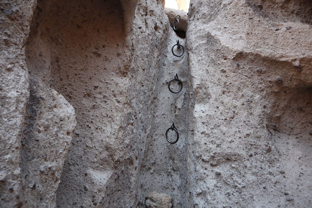
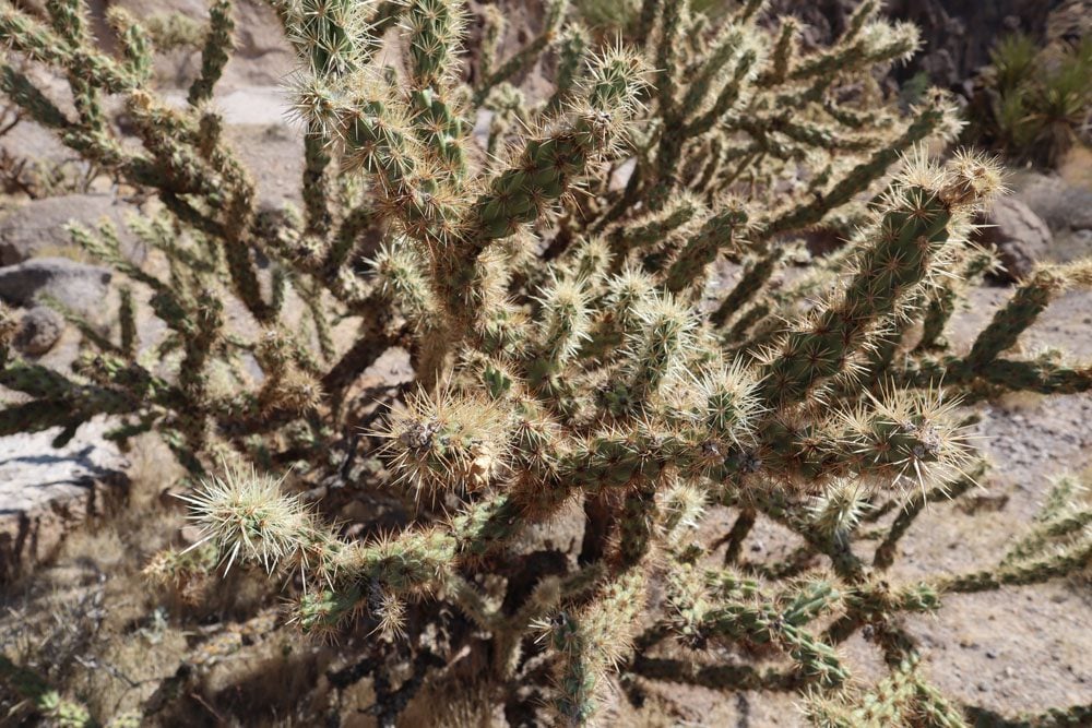
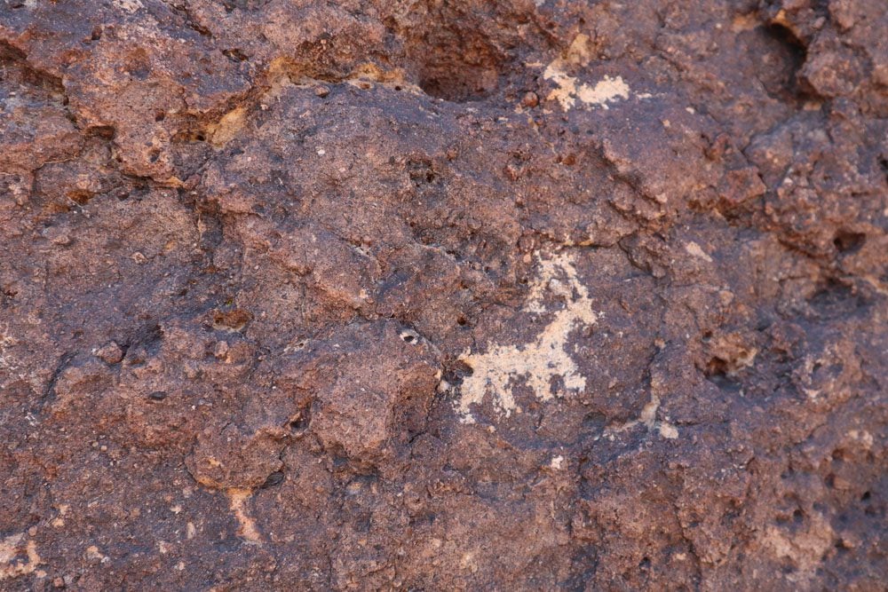
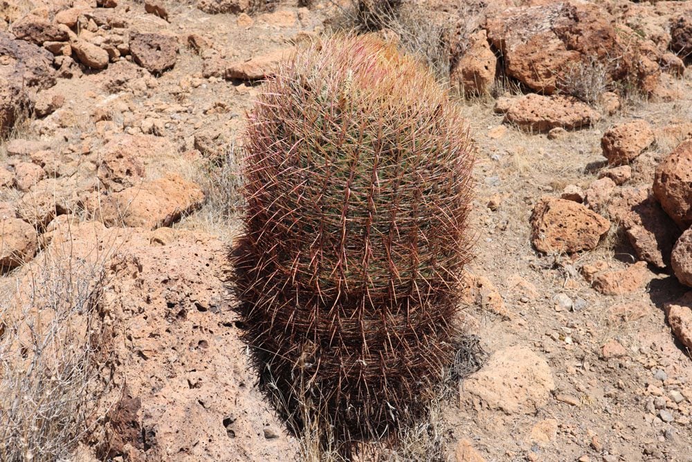
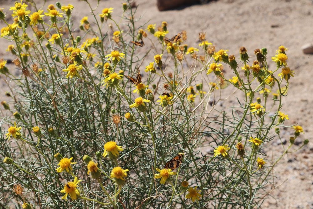
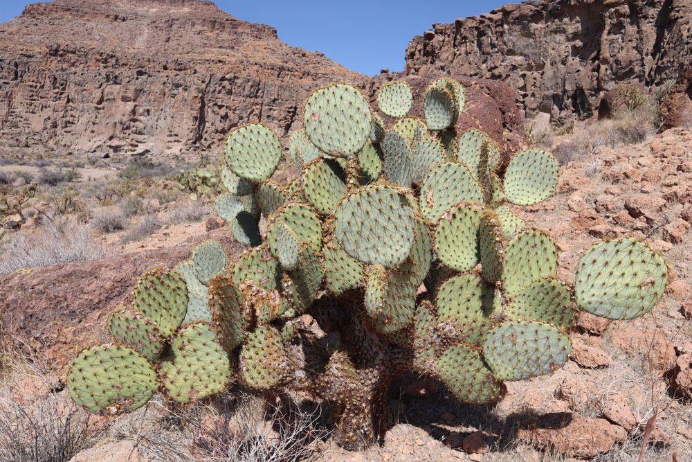
The trail then circles a small butte back to the parking area (again, this depends on your starting direction). On this easy section of the trail, you’ll see wild cactus, Native American petroglyphs, and maybe even desert butterflies.
For longer hiking options in this area, check out the Barber Peak Loop Trail and the out-and-back Hole-in-the-Wall to Mid Hills Trail.d
Hole-in-the Wall to Teutonia Peak
From Hole-in-the-Wall a dirt road that’s passable also by regular sedans (in the dry season) heads to the intersection with the historic Mojave Road. This is a very scenic stretch of road that passes by forgotten ranches, small campsites, and untouched Joshua tree groves.
Cima Road
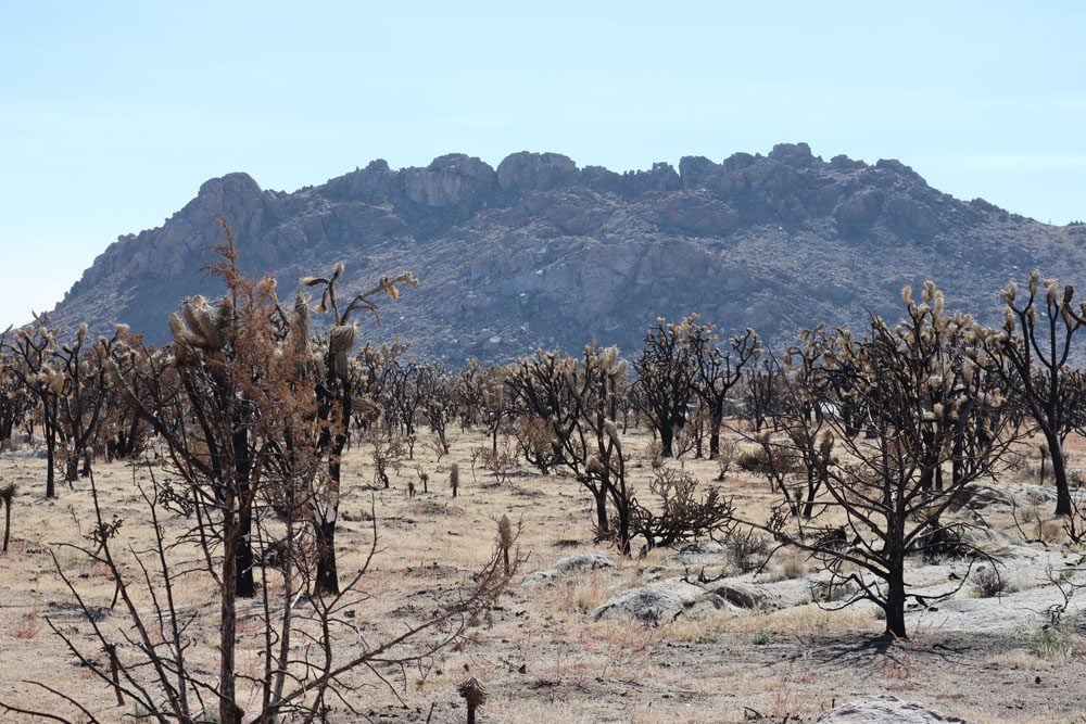
This stretch of road connects tiny Cima village with Interstate 15. Joshua trees on both sides of the road make this a pretty drive, but devastating wildfires in 2020 didn’t leave much to enjoy during my visit.
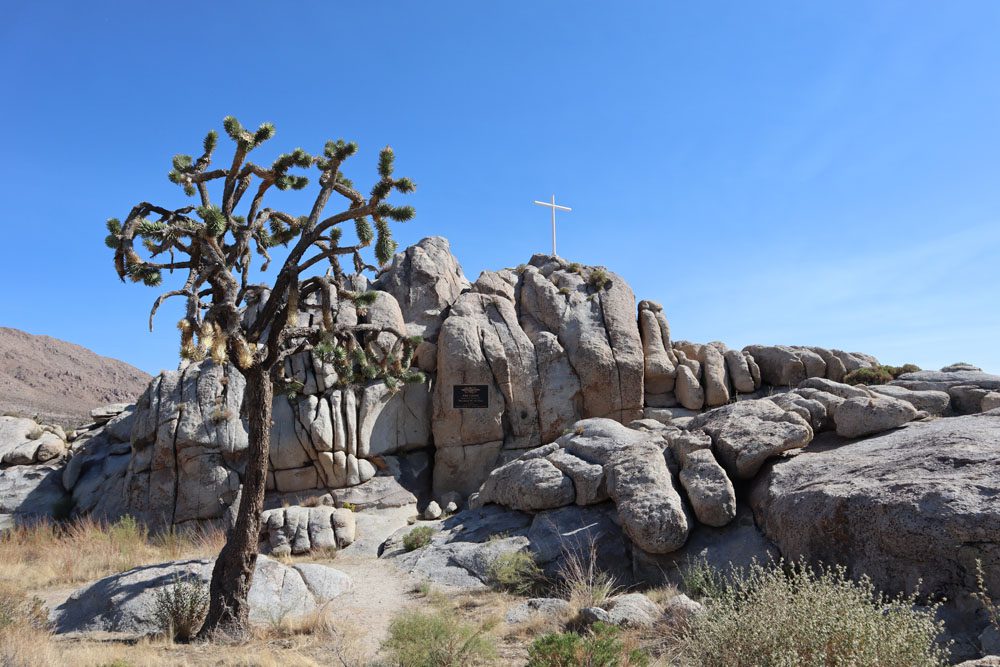
White Cross World War I Memorial
Across the road from the Teutonia Peak trailhead, this scenic memorial was erected in 1934 to commemorate the fallen soldiers of the First World War. This is a popular spot for camping.
Teutonia Peak Trail
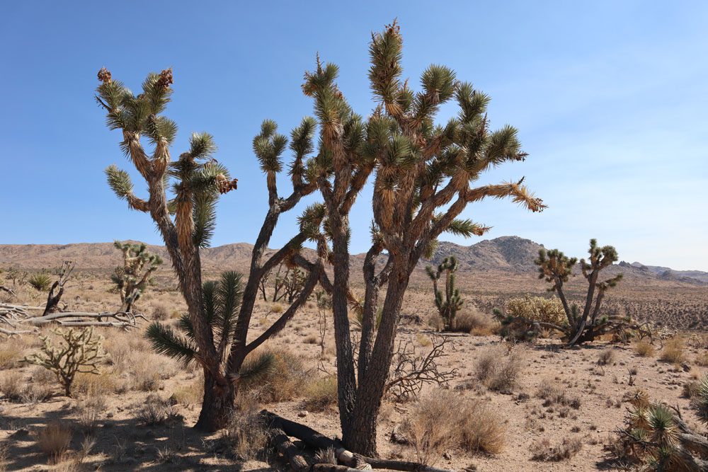
This is one of the most popular and rewarding hikes in Mojave National Preserve. The goal is to reach Teutonia Peak (5,755 feet) from where hikers are rewarded with sweeping views of the Cima volcanic field and its crown feature, the massive Cima Dome. Along the hike, you’ll see Joshua trees and old mineshafts. Here’s a good walkthrough explanation of the hike.
Both Teutonia Peak and the Kelso Sand Dunes are good spots to end your sightseeing day. From these two highlights, you can enjoy the sunset and head to a nearby campground.
What’s Next?
This Mojave National Preserve travel guide and itinerary should give you a good starting point for planning your desert adventure, whether as a detour on the drive from Los Angeles to Las Vegas or as an overnight adventure in the Mojave Desert. Check out additional California and Southwest USA travel guides if you’re planning to explore more of this beautiful region.
Pin These Images To Your Favorite Boards